Helping design and engineering professionals discover, evaluate and specify technologies and processes that shorten the design cycle and enable success.

April 2026 Special Focus Issue: Generative Design
In this Special Focus Issue, Digital Engineering takes a look at how generative design solutions can be used across different types of design problems and with a variety of manufacturing approaches to accelerate design space exploration, and…

Electrum utilizes the 3DEXPERIENCE platform on the cloud to develop their new electric motorcycle
Electrum, a new brand of electric motorcycles, utilizes the 3DEXPERIENCE platform. Their mission is to support Indonesia’s shift to low-carbon, sustainable transport and to ultimately help the country’s government achieve its vision of net…
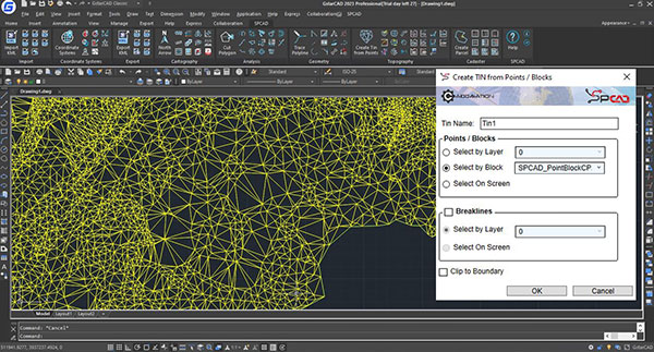
Users of SPCAD for GstarCAD from Gstarsoft can now access more than 100 industry-specific tools in SPCAD and the latest technology from GstarCAD.
Equipped with more than 100 tools, SPCAD is built to be a comprehensive solution to automate tasks.
From assigning coordinates system to your drawing to importing/exporting geospatial files, to performing topographic analysis and creating maps and cadaster plans, users can now run spatial analysis without switching to a different software.
Specially developed to help run geospatial analysis, SPCAD is equipped with essential tools to make CAD designs workflows quick, efficient and convenient, the company says.
Sources: Press materials received from the company and additional information gleaned from the company’s website.

DE's editors contribute news and new product announcements to Digital Engineering. Press releases may be sent to them via [email protected].
Follow DEJoin over 90,000 engineering professionals who get fresh engineering news as soon as it is published.


About Us · Contact Us · Editorial Team · Advertising · Privacy Policy · Subscriber Services · © 2026 Digital Engineering 24/7 · Peerless Media